Explainer: Everything you should know about Combined Physical Risk

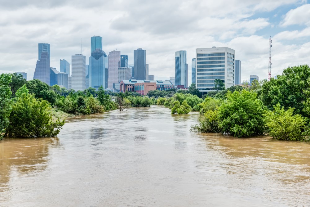
It’s been a summer of extreme weather in Europe and the United States, with heat, drought and floods affecting nearly every part of the economy. Italy is drier than at any time since 1800, hydropower reservoir supplies have sunk to the lowest point in 25 years in Norway, and warmed rivers have threatened the use of nuclear reactors in France. No matter where you look, the very real and immediate impact of climate change is everywhere.
It is vital for organizations to build a full picture of their physical climate risk across not only the assets that they directly manage, but also those in their supply chain. Companies must both retrofit existing assets, and design completely new infrastructures to combat climate change: inaction is not an option.
Where to start with understanding climate risk?
Cervest’s flagship product EarthScan™ makes it straightforward! In minutes you can locate or upload assets and receive dynamic, science-backed physical climate risk insights at the asset and portfolio level. Going back to 1970 and looking ahead to 2100, EarthScan reveals both acute and chronic risks, including flooding, heat stress, precipitation, extreme wind and drought.
As well as these individual hazards, there is also a rating for “Combined Physical Risk”. It’s a holistic view of an asset’s physical climate risk exposure, but what does combined physical risk mean exactly?
Understanding the what, where and why of combined physical risk across your portfolio
Combined physical risk takes into consideration all individual risk categories in EarthScan to give a unified risk rating for an asset or portfolio of assets, ranging from Very Low to Very High.
This feature is especially useful for companies with large portfolios of hundreds of assets that they own, manage, rely on, or are considering investing in. It allows a visual and immediate indication of the areas worst affected at an overall level from climate risk.
By combining individual risk categories, decision-makers can quickly compare and benchmark assets – highlighting which have the greatest exposure to climate hazards, and therefore, need further investigation and prioritization. For those at-risk-assets, EarthScan users can drill down further to discover which risk categories are the most cause for concern and flag these to the relevant stakeholder.
A single source of truth on climate risk
Sharing these insights with stakeholders could not be easier. For the first time, users can download individual or multiple insights for use in annual summaries, specialized climate risk reports, presentations, ESG Committee meetings and more. Each insight comes cited and cross-referenceable to help build internal credibility, and can be traced back to an open science-backed methodology.
Having an EarthScan™ overview of a company’s infrastructure portfolio plays a crucial part in tackling future climate risk, ensuring the best decisions can be made swiftly for each property – avoiding serious climate damage and revenue loss. We all need to act on climate change now.
Take action today
To get started on your climate intelligence journey, join our EarthScan Starter Program. Screen and identify physical climate risk at the asset level across your portfolio and supply chain, identify critical risks and share report-ready insights directly with your team.
Share this article
Our latest news and insights

Accenture and Cervest collaborate to bring innovative solutions to clients seeking resilience amid increased climate risk
Read more
What is climate intelligence and why do businesses and governments need it?
Read more